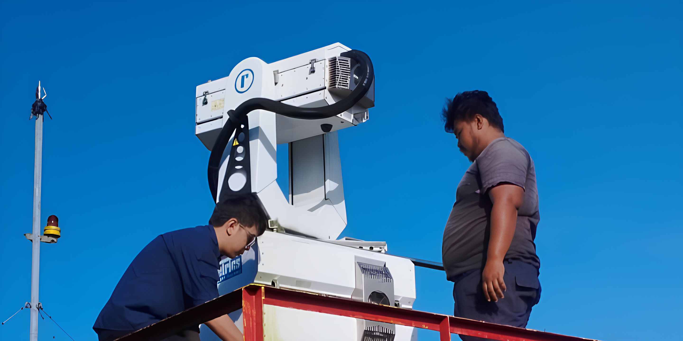
To understand why SIBAKOM’s 3D LiDAR Monitoring is a groundbreaking necessity rather than a luxury, we must look at the unique, complex environmental and industrial realities of Indonesia and the broader ASEAN region. Conventional monitoring tools are no longer sufficient to address the compounding atmospheric challenges we face.
Below is a detailed analysis of the critical cause-and-effect relationships that make this advanced technology an absolute priority for our region.
1. The Volcanic Catalyst: Ring of Fire vs. Aviation Safety
- The Cause: Indonesia is geographically positioned directly on the "Ring of Fire," resulting in high frequency, unpredictable volcanic eruptions that eject massive plumes of abrasive silicate ash into the upper atmosphere.
- The Complication: Standard meteorological tools and ground-based point sensors can only detect ambient air at surface levels; they are entirely blind to high-altitude plume distributions. Consequently, aviation authorities are forced to rely on broad, conservative satellite estimates, which often leads to massive, costly airport closures or, worse, severe engine damage to aircraft flying through unnoticed ash clouds.
- The 3D LiDAR Solution: SIBAKOM’s depolarization LiDAR networks emit specialized laser wavelengths that can immediately differentiate between harmless water clouds and hazardous silicate ash particles. As a direct result, the system accurately measures precise plume altitude, optical depth, and mass concentrations. This allows authorities to safely map dynamic, real-time "no-fly zones," ensuring aviation continuity while completely removing the risk of catastrophic engine failures.
2. The Transboundary Haze Phenomenon: Monsoonal Winds & Pollutant Transport
- The Cause: The ASEAN region experiences distinct dry seasons coupled with intensive agricultural practices and peatland fires, generating immense volumes of fine particulate matter. Strong monsoonal wind systems then carry these aerosols across national borders, triggering severe transboundary haze crises that affect public health and economies across multiple ASEAN countries.
- The Complication: Traditional ambient air quality monitoring stations operate strictly at ground zero. They only record pollution after it has already descended into the breathing zone of the population, providing zero foresight into the volume of haze moving through upper atmospheric layers.
- The 3D LiDAR Solution: By utilizing continuous 360° horizontal and vertical scanning, SIBAKOM’s technology intercepts tracking long before it reaches the ground. The system tracks the Planetary Boundary Layer (PBL) height and monitors the path of incoming aerosol columns aloft. Because municipalities gain this advanced spatial awareness, governments can issue proactive health warnings and execute regional mitigation protocols days before the haze settles into urban centers.
3. Rapid Urbanization & The Atmospheric Inversion Trap
- The Cause: Mega-cities and industrial zones across ASEAN are expanding at unprecedented rates, causing a massive surge in vehicular and industrial emissions. During specific meteorological conditions, a phenomenon known as an "atmospheric inversion layer" occurs, acting like a physical lid that traps toxic pollutants close to the city floor.
- The Complication: Surface point sensors will register a spike in pollution, but they cannot identify where the inversion layer begins, how thick it is, or which specific industrial stacks are feeding the toxic buildup. This triggers a major blind spot for environmental enforcement agencies trying to regulate urban air sheds.
- The 3D LiDAR Solution: SIBAKOM’s platform maps the entire vertical profile of a city in real time. It exposes the exact boundary of inversion layers and traces the dispersion pathways of particulates. This empowers city planners and environmental ministries with actionable data to redesign urban airflow corridors and enforce emergency emission caps during critical weather traps.
4. Heavy Industrial Accountability: Tracking Invisible Emissions
- The Cause: Heavy manufacturing sectors in ASEAN. Such as steel factories, refineries, and power plants. Operate complex, continuous thermal processes that vent emissions from towering smoke stacks.
- The Complication: Monitoring these plants via physical, in-situ sensors attached to stacks is logistically difficult, prone to sensor degradation from extreme heat, and easily bypassed. Furthermore, tracing fugitive emissions that escape from unmonitored building leaks or open-air processing bays is nearly impossible using standard equipment.
- The 3D LiDAR Solution: Backed by the rigorous field validations presented in Evaluation of a commercial aerosol lidar scanner for industrial pollution monitoring.pdf, Raymetrics’ PMeye technology uses an innovative UV scanning depolarization lidar operating at 355 nm. By executing automated sectoral scans, the system calculates absolute particulate matter concentrations directly from raw laser backscatter coefficients. Therefore, a single SIBAKOM LiDAR unit placed on an administrative rooftop can remotely monitor an entire industrial complex from up to a kilometer away. It pinpoints exact, undeclared emission leaks, matches them with high-correlation data, and provides corporate operators with the absolute clarity required to maintain strict environmental compliance and protect local communities.
Why SIBAKOM is the Essential Choice
The combination of active geology, seasonal monsoons, and aggressive industrial growth makes Indonesia and ASEAN one of the most volcanically and atmospherically complex regions on Earth.
SIBAKOM does not merely offer data collection; we deliver a comprehensive, predictive shield. By bringing this elite 3D LiDAR technology to the front lines, SIBAKOM gives industries, aviators, and governments the power to see the unseen. Transforming invisible atmospheric hazards into clear, manageable, and preventable risks.