Until recently, weather radar in Brunei was used mainly to monitor conditions around Brunei International Airport. But as the country looked to improve public safety and weather awareness, it became clear that a more comprehensive national weather monitoring system was needed.
That vision began taking shape in 2010 through a major modernization project led by the Department of Civil Aviation. Working with local contractor Spektra Engineering, the project involved building new infrastructure, including a dedicated radar facility and a 30-meter tower to support a new generation of weather-monitoring equipment.
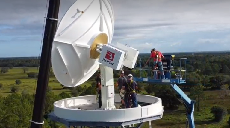
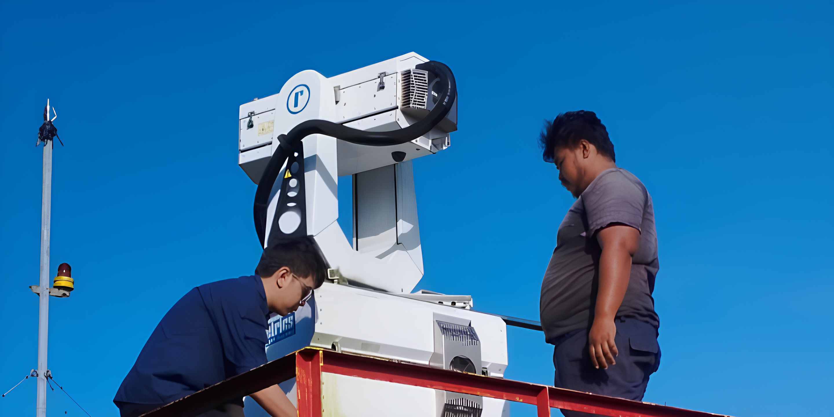
At the heart of the system is a new weather radar designed to handle Brunei’s tropical climate, where heavy rain and severe storms are common. The upgraded radar provides more detailed and accurate information about rainfall, helping meteorologists better track developing weather and improve forecasting.
Reliability was a key priority throughout the project. To reduce the risk of downtime, the radar system was built with backup components that can automatically take over if a fault occurs. The same approach was applied to the computer servers and communications systems, ensuring the network remains operational even during technical issues.
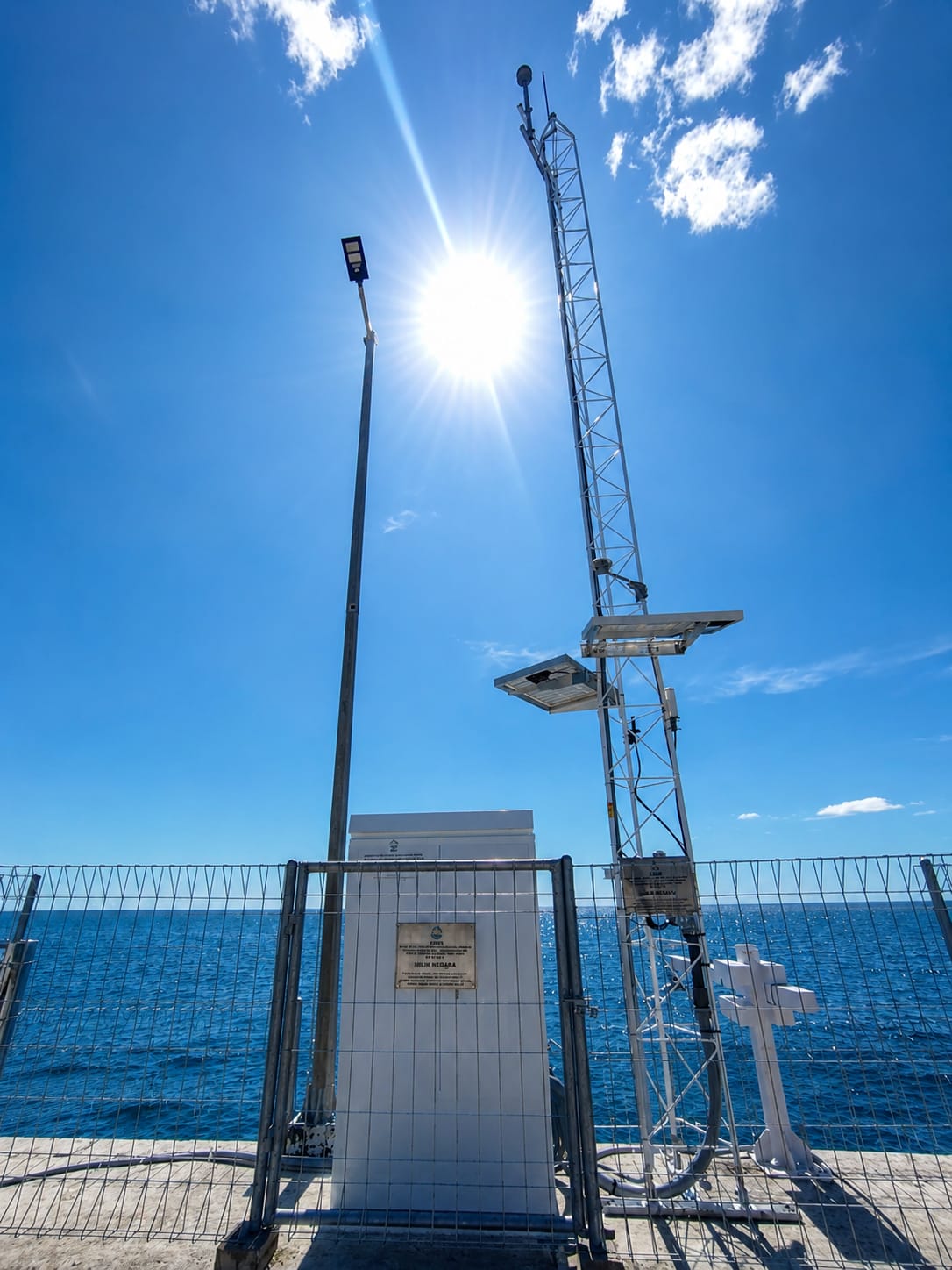
The modernization effort also brought together a wide range of weather data sources into a single platform. Information from lightning detectors, weather stations, satellite imagery, airport observation systems, and international weather reports can now be viewed and analysed through a unified system. This gives forecasters a much clearer picture of current conditions across the country.
Beyond monitoring weather in real time, the project introduced advanced forecasting capabilities. A customized weather model was developed specifically for Brunei, providing forecasts that range from a few hours to several days ahead. The system can also estimate rainfall totals, identify potential flood risks, and support emergency planning during severe weather events.
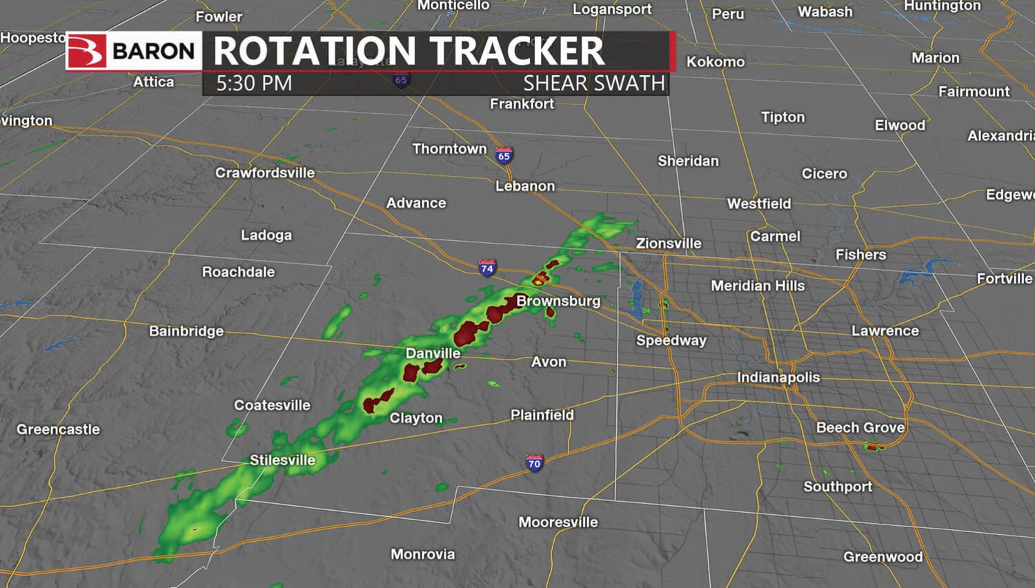
Perhaps most importantly, the project improved how weather information reaches the public. Forecasts, radar images, and warnings can now be distributed more quickly to government agencies, media organizations, and the public through online and mobile platforms.
The result is a modern, integrated weather service that not only supports aviation operations but also helps communities across Brunei stay informed and prepared when severe weather strikes.