.png)
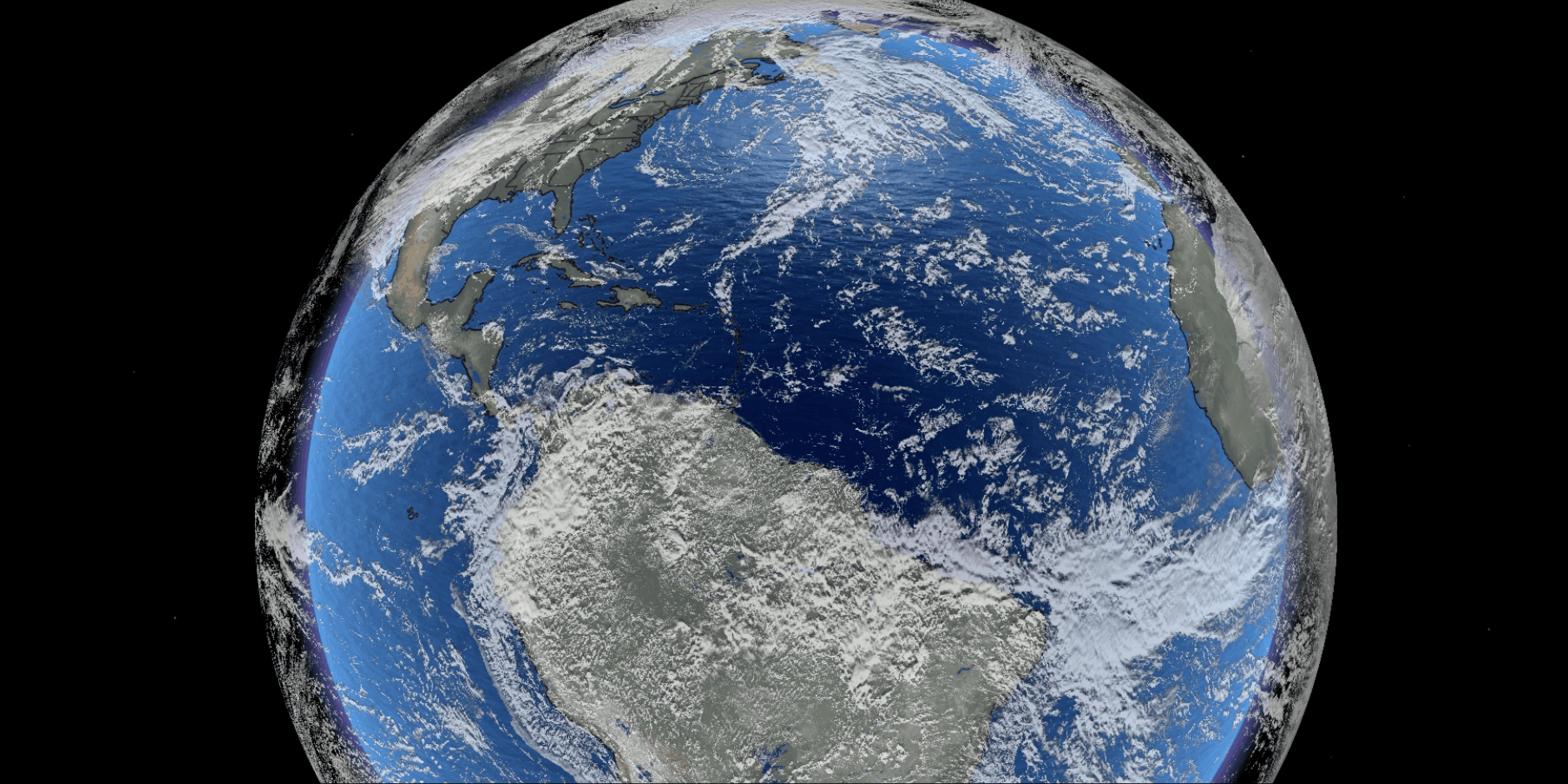
As the premier System Integrator for Weather Solutions, SIBAKOM is constantly charting the future of weather intelligence. Looking ahead, we are positioning ourselves to deliver highly sophisticated, next-generation Remote Sensing Solutions designed to scan, analyze, and protect our planet from space.
This cutting-edge service line is built on a strategic vision alongside Collecte Localisation Satellites (CLS). The world-renowned subsidiary of the French Space Agency (CNES). By anchoring our upcoming solutions on CLS’s globally proven success stories, SIBAKOM is preparing to bring world-class satellite telemetry, advanced data processing, and predictive environmental modeling to Indonesia and the wider ASEAN region.
Leveraging CLS’s unmatched global track record, SIBAKOM is shaping a high-performance framework centered across four vital environmental domains:
1. Advanced Weather Intelligence
Atmospheric tracking forms the critical foundation of our remote sensing vision. By harnessing CLS's deep commitment to better understanding global weather systems, our future solutions will introduce high-fidelity satellite data streams to regional meteorologists. This technology will significantly optimize tropical cyclone forecasting and severe weather tracking, allowing operators to map intense storm cells with extreme accuracy long before they make landfall, giving communities the vital time needed for emergency management.
2. Marine Analytics & Ocean Observations
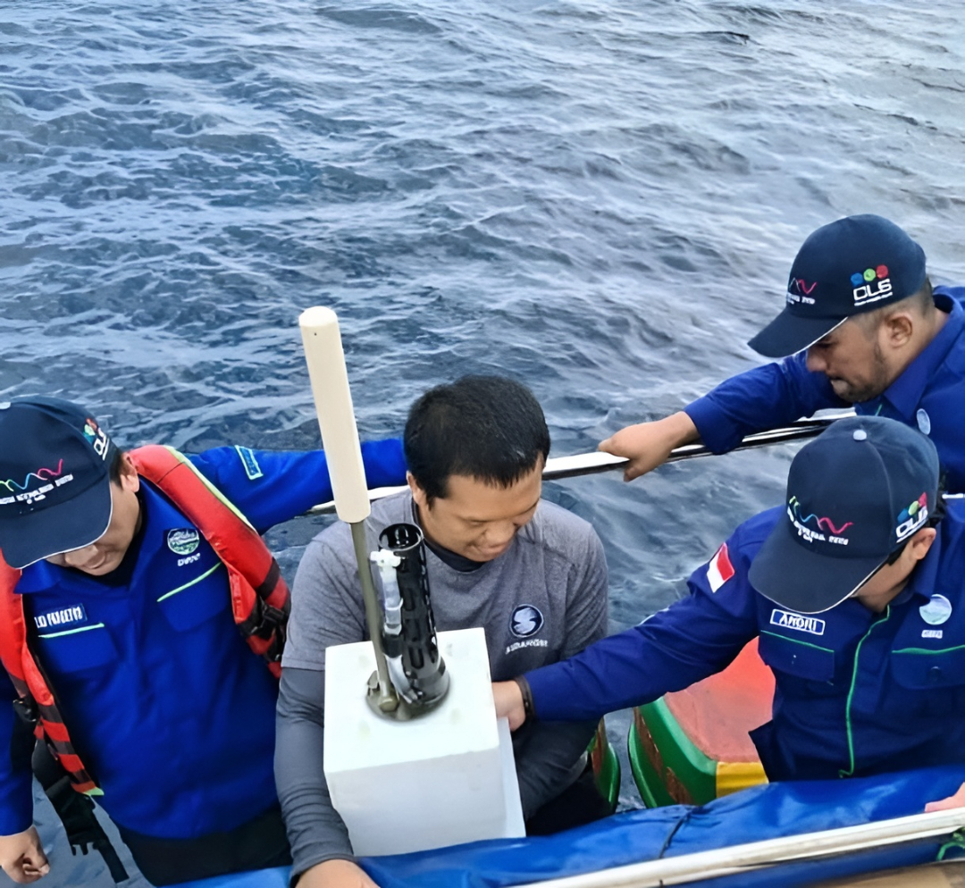
Navigating and managing the open ocean requires absolute data dominance. Our future ecosystem will feature advanced satellite models engineered to map and analyze ocean winds with unprecedented precision. By capturing real-time insights on wind patterns, wave heights, and sea-surface dynamics, this service line aims to assist maritime authorities and commercial fleets in transforming erratic tropical waters into predictable, highly optimized, and secure transit corridors.
3. Coastal & Maritime Security
With thousands of vulnerable islands across ASEAN, coastal protection is a non-negotiable priority. Utilizing elite spectral imaging and space-borne radar technologies proven by CLS on global shorelines, this upcoming service will raise vital awareness of coastal flood risks directly from orbit. It will enable government agencies and coastal industries to accurately map sea-level anomalies, track shoreline changes, and make proactive infrastructural decisions to secure essential ports and coastal populations.
4. Precision Agrometeorology & Land Dynamics
Securing regional food supply chains requires sophisticated land observation. Our vision includes deploying state-of-the-art satellite breakthroughs in surface water detection and spectral imaging. This will empower large-scale agricultural sectors to optimize crop models, monitor soil moisture variations across massive terrains, and manage crucial river basins. Furthermore, these models are designed to unlock the secrets of dense tropical canopies, providing vital data to monitor rainforest health and promote sustainable regional development.
At SIBAKOM, we understand that introducing next-generation space technology is only highly effective when paired with expert human capability. As we look to deploy these advanced Remote Sensing solutions in the future, they will be seamlessly integrated with our premier Capacity Building programs. We are preparing comprehensive, specialized training frameworks to ensure that local technical teams, duty forecasters, and data analysts will completely master, interpret, and leverage these advanced satellite streams from day one. We don't just envision sophisticated technology; we ensure the region is fully equipped to command it flawlessly.
.png)